Contact us
Get started with our AI solution
Connect with our team of experts to explore how DeepScenario can support your application.
Thank you. Your submission has been received.
Oops! Something went wrong while submitting the form.

Deploy next-generation autonomy and tactical intelligence to outpace global adversaries.
Developing spatially aware defense systems requires resolving the critical hurdles of active sensor detectability, 2D perception limits, and high hardware requirements.

Active sensors like LiDAR emit signals that risk immediate detection and targeting, compromising mission stealth.

Standard 2D detection cannot capture object orientation, distance, or intent, leaving critical blind spots.

Aerial surveying relies on high-spec drones, driving up cost and limiting mass deployment.
By leveraging algorithms from autonomous driving, we transform video feeds from ground vehicles, stationary cameras, or drones into a precise 3D environment model. At the core is our world-class spatial AI toolbox, providing real-time 3D perception at the edge for instant awareness and rapid response.

From unmanned systems to real-time surveillance, we deliver the precision needed for a tactical advantage in the field.
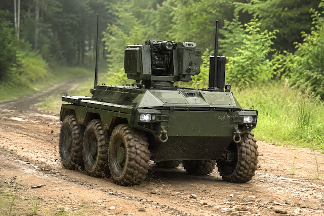
Achieve reliable autonomous navigation in unstructured, GPS-denied environments using only monocular cameras. We deliver real-time 3D occupancy perception and object tracking, alongside scenario reconstruction for training and testing in simulation.

Detect and track tactical objects in 3D including vessels, armored vehicles, and tanks from ordinary surveillance cameras. Our software extracts precise 6D object tracks to make threat behavior and asset intent immediately interpretable.
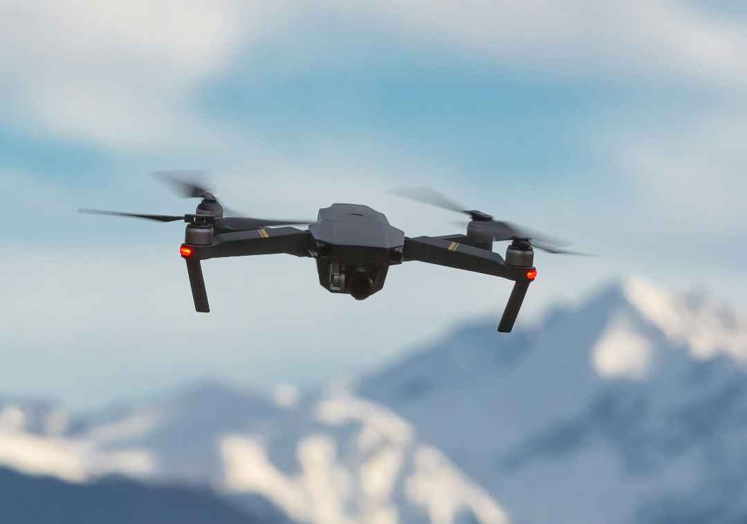
Obtain a centimeter-accurate 3D reconstruction of the environment using an uncalibrated, off-the-shelf drone. Combine these capabilities with aerial 3D object detection and tracking for a comprehensive scene analysis.
Learn how our customers benefit from our product in their use cases.

Camera-based 3D environment perception for stealth autonomous navigation in any terrain.
Centimeter-accurate 3D object tracks from a standard camera with no additional hardware.

High-precision environment mapping and 3D object tracking with commercially available drones.